Define scope
What needs to be seen, measured or documented.
More
Understand what the project team needs to see, measure, document or process.
Drone Data Capture & Reality Capture Specialist
Aerial and site data capture for construction, infrastructure, property, environmental and agricultural projects.
Independent specialist · Cape Town · Project-based
 1/8
1/8
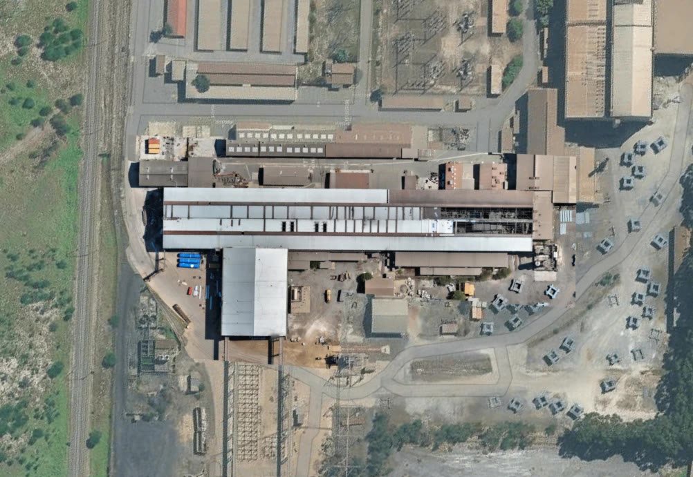
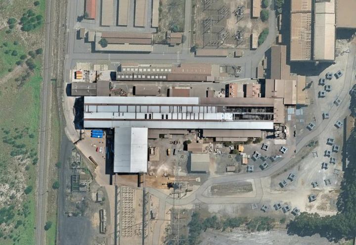
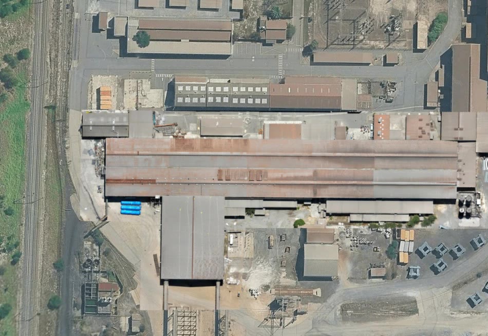
Large industrial site — full-site overview.
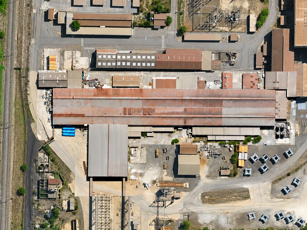
Plant and rail corridor — high-resolution detail.
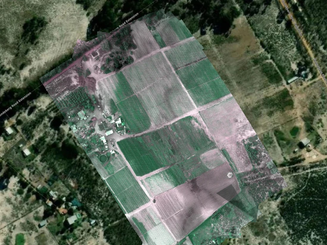
Farm orthomosaic — georeferenced map of crop blocks.
Systematic high-overlap imagery for large-area mapping and photogrammetric processing.
Suitable for construction sites, developments, roads, infrastructure, farms, environmental sites and property portfolios.
 1/4
1/4
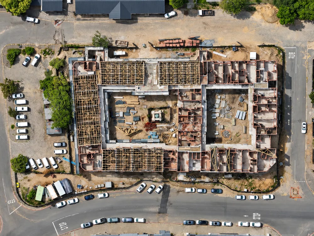
Mixed-use development, Cape Town — drag to move through the stages.
 1/3
1/3
Industrial roof-coating programme — same viewpoint across visits.
Repeat missions flown using consistent capture methods so project teams can compare site conditions over time.
Suitable for baseline surveys, construction progress, earthworks, infrastructure installation and project documentation.
 1/4
1/4
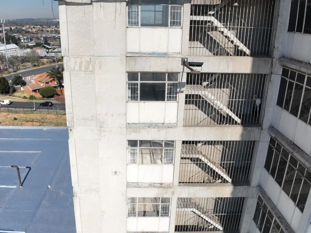
High-rise fire escape — drag from the façade overview to the defect detail.
 1/8
1/8
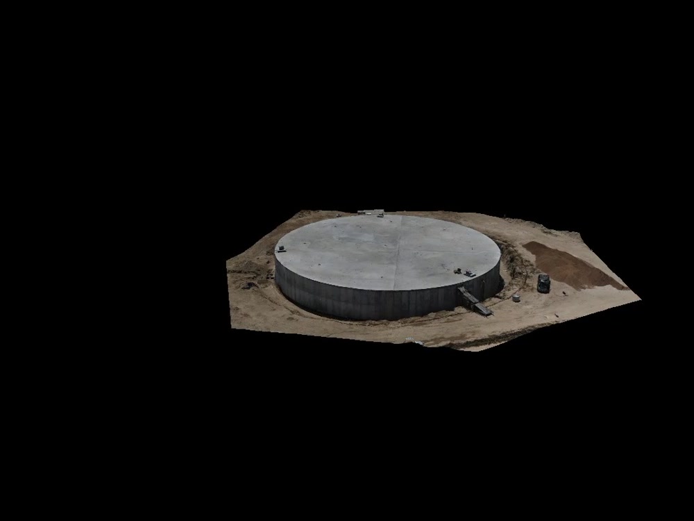
Elevated water reservoir — full-perimeter coverage without physical access.
 Before
1/2
Before
1/2
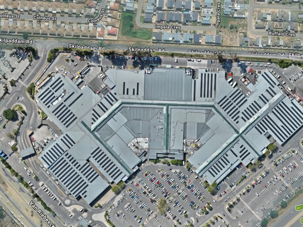
Retail mall rooftop — before and after the solar installation.
High-resolution imagery of difficult-access areas including roofs, façades, elevated structures and infrastructure.
Designed to give engineers, consultants and inspection teams detailed visual evidence without unnecessary physical access.
 Baseline survey
1/3
Baseline survey
1/3
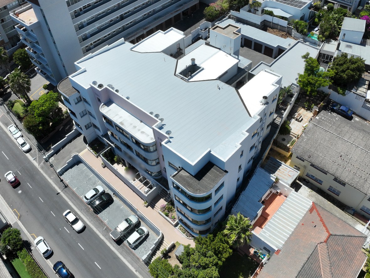
Building survey before and after a fire — drag to compare the baseline, post-incident and follow-up surveys.
Aerial documentation of buildings and sites affected by an incident, with before-and-after comparison where an earlier survey exists.
Interpretation of cause and damage remains with the relevant assessors, investigators and engineers.
Example: a baseline survey of the building existed before the incident, and the post-incident surveys were commissioned to assess the damage. Location and identifying details have been removed.
 1/7
1/7
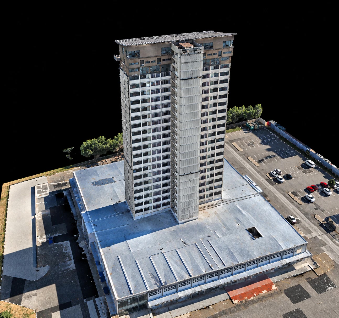
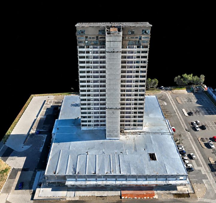
High-rise and podium — drag to rotate the reconstructed model.
Nadir and oblique imagery collected specifically for photogrammetric reconstruction.
Datasets can support third-party creation of:
Multispectral composite
1/3
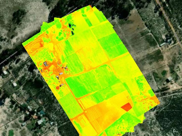
Crop blocks — drag from the composite to the NDVI and SIPI2 index layers.
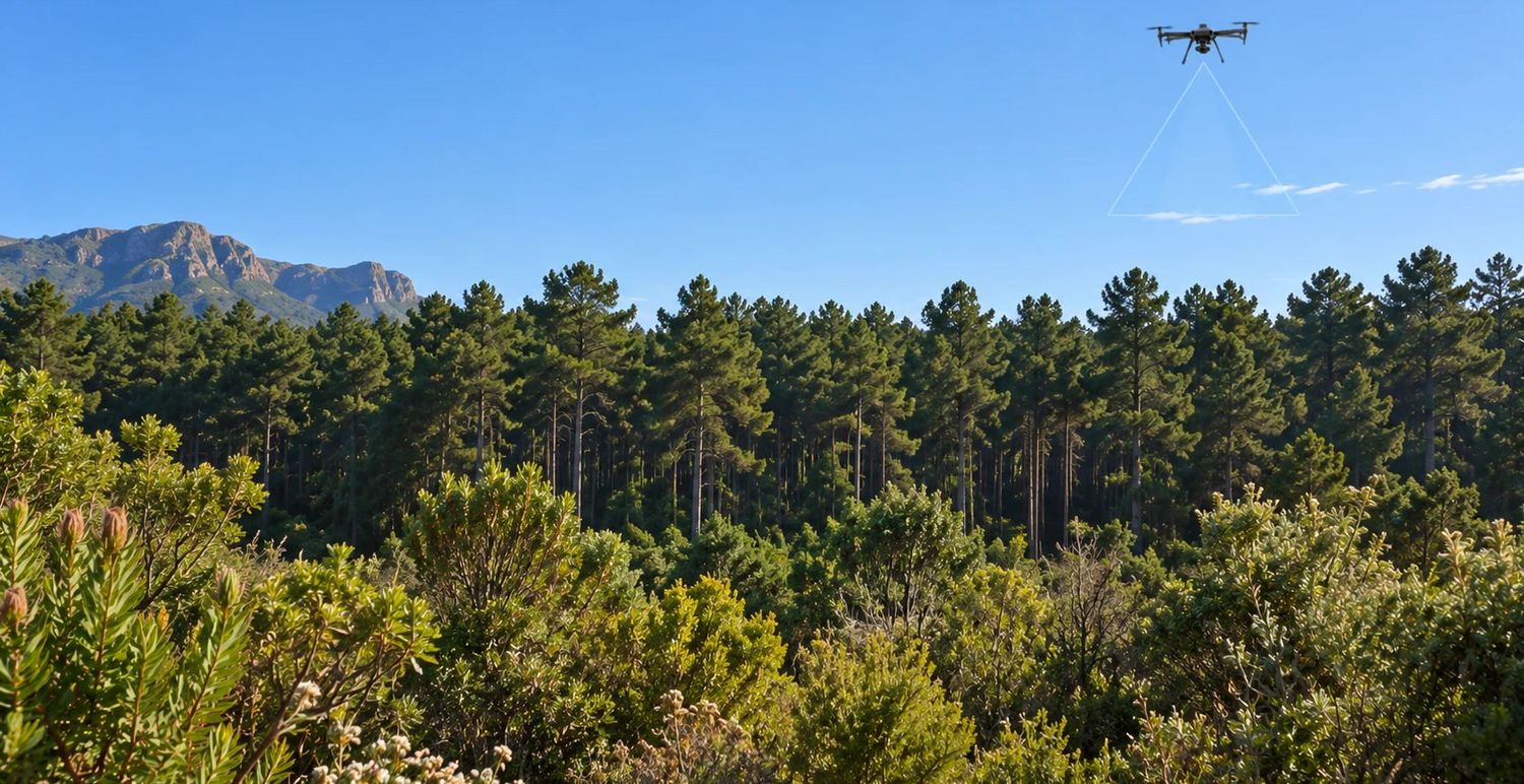
Multispectral and RGB data collection for farms, crop trials, research projects and environmental applications.
Capture can support downstream analysis including:
 Orthomosaic
1/2
Orthomosaic
1/2
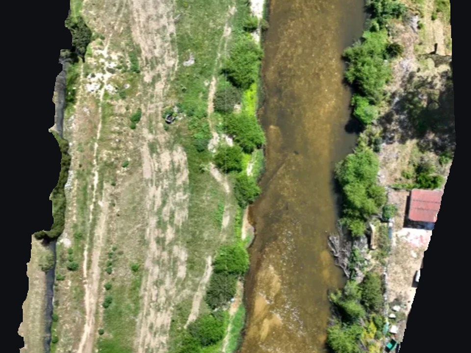
Sample survey — drag from the orthomosaic to the same view with surface contour lines.
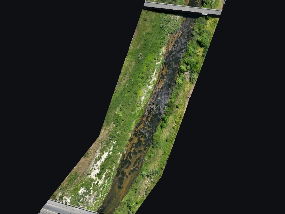
Sample survey — orthomosaic base map of the full stream section, bridge to bridge.
 Point cloud
1/2
Point cloud
1/2
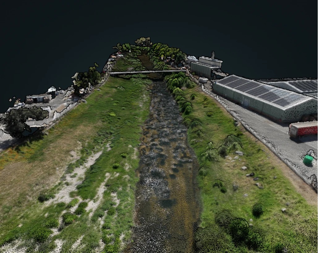
Sample survey — channel, bank slopes, bridge and adjoining structures as a 3D model.
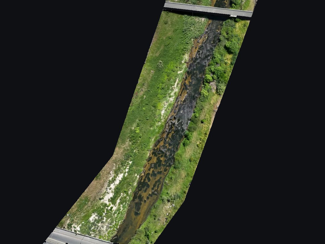 Full stream section
1/6
Full stream section
1/6
Sample survey — drag to zoom from the full stream section down to the stream bed and bank vegetation at full resolution.
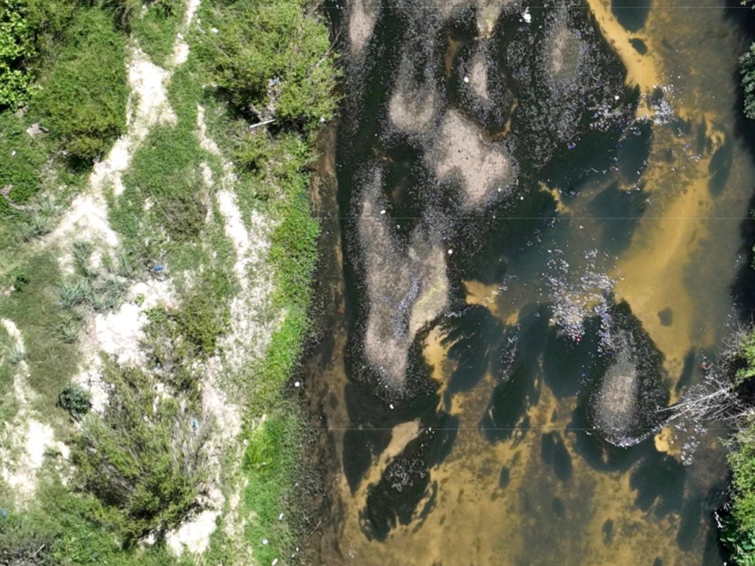
Sample survey — debris collecting along the channel, identifiable at full resolution.
Repeat aerial datasets for environmental consultants, researchers, conservation organisations and land managers.
Applications include:
Repeat surveys from the same flight plan add change comparison, such as bank erosion, vegetation and rehabilitation progress.
Examples are a sample survey of a public river area, shown to demonstrate the data products.
What needs to be seen, measured or documented.
Understand what the project team needs to see, measure, document or process.
Flight pattern, resolution, overlap and repeatability.
Develop the appropriate flight pattern, resolution, coverage, overlap and repeatability requirements.
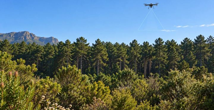
Structured RGB, multispectral or photogrammetric imagery.
Gather structured RGB, multispectral or photogrammetric imagery using the appropriate aircraft and workflow.
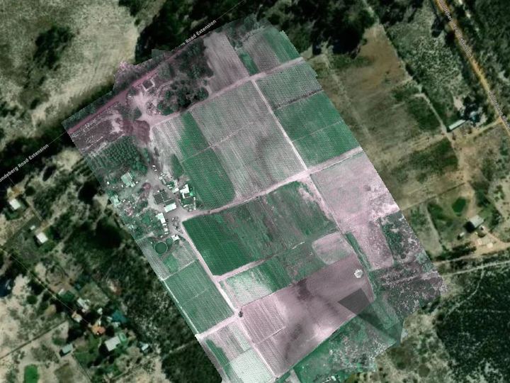
Organised datasets for your engineering, survey, BIM or analysis team.
Supply organised project imagery and datasets for use by the client's engineering, survey, BIM, environmental, agricultural or analysis team.
Professional enterprise UAV platforms selected according to the data requirements of each project.
Current capabilities include:
Data can be captured for processing within platforms including DroneDeploy, DJI Terra, PIX4D and other photogrammetry, GIS, BIM and geospatial workflows.
I work independently and can support projects as a dedicated drone operator or as part of a wider technical team.
This works particularly well for companies that require professional aerial data occasionally but do not need to employ and maintain an internal drone operation.
I can operate alongside:
The technical interpretation remains with the relevant professional while I focus on collecting the best possible source data for the task.
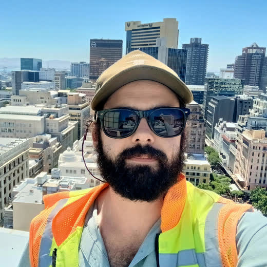
Professional Drone Operations. SACAA-licensed Remote Pilot with experience operating across commercial, construction, residential, agricultural and infrastructure environments.
Complex-Site Capture. Experienced in operations requiring coordination with site teams, controlled access, roof launches, restricted operating areas and active construction environments.
Repeatable Data Collection. Flight planning and capture methods can be standardised for projects requiring comparison across multiple visits.
Remote & Field Operations. Available for projects throughout the Western Cape and for project-based deployment elsewhere in South Africa or further afield where required.
I provide specialist drone and field data capture for projects where accurate, repeatable or hard-to-access visual information is required.
My work supports contractors, engineers, project managers, survey teams, BIM specialists, property consultants, environmental professionals and agricultural teams by gathering high-quality source data for their existing workflows.
The focus is on the capture itself: planning the operation correctly, collecting the right data, maintaining consistency across repeat visits and supplying usable datasets to the professionals responsible for analysis, design, measurement or decision-making.
With a background in construction inspection and quality assurance, I understand that useful drone data needs to do more than look impressive. It needs to clearly record the condition, location or change being investigated.
Let’s define the capture requirement
If you have a site, asset or area that needs to be mapped, documented, inspected or monitored, send me the project location and what your team needs to achieve. I can help determine the most appropriate capture method and whether drone data is suitable for the project.